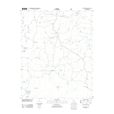
2012 Map of Wilderness
USGS Topo · Published 2012About this map
Wilderness stands at the heart of this Oregon County landscape, a community defined by its remote valley position and network of forest roads. The terrain is deeply incised by a complex system of hollows and creek beds, including Gold Mine Hollow and Brawley Hollow, which drain toward the Eleven Point River at Horseshoe Bend. The historical imprint of the timber industry is visible through the winding path of Old Tram Rd, tracing the route of former logging rails through Tram Hollow.
Find a feature on this map
40 named features on this map. Tap any name to fly to it.
Don’t see what you’re looking for? This feature index may not catch every label — zoom into the map to look around manually.
Map Details
Editions of this 2012 Wilderness Map
This is the sole edition of this map. No revisions or reprints were ever made.
Other maps of this area

1931 · Bandyville
USGS Topo · 1:48,000

1941 · Gatewood
USGS Topo · 1:62,500

1944 · Van Buren
USGS Topo · 1:62,500

1944 · Couch
USGS Topo · 1:62,500

1944 · Birch Tree
USGS Topo · 1:62,500

1945 · Gatewood
USGS Topo · 1:62,500

1946 · Couch
USGS Topo · 1:62,500

1946 · Van Buren
USGS Topo · 1:62,500

1948 · Birch Tree
USGS Topo · 1:62,500

1957 · Poplar Bluff
USGS Topo · 1:250,000