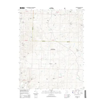
2015 Map of Wilderness
USGS Topo · Published 2015About this map
The settlement of Wilderness serves as the focal point for this section of the Mark Twain National Forest, situated along the border of Oregon and Carter Counties. The landscape is defined by an intricate network of drainages and family-named hollows, such as Gold Mine Hollow, Hog Cliff Hollow, and Stinking Pond Hollow. These features reveal a history of localized subsistence and small-scale industry, further evidenced by the presence of the Old Tram Rd and Tram Hollow, pointing toward earlier timber or mining operations in the Ozarks.
Find a feature on this map
59 named features on this map. Tap any name to fly to it.
Don’t see what you’re looking for? This feature index may not catch every label — zoom into the map to look around manually.
Map Details
Editions of this 2015 Wilderness Map
This is the sole edition of this map. No revisions or reprints were ever made.
Other maps of this area

1931 · Bandyville
USGS Topo · 1:48,000

1941 · Gatewood
USGS Topo · 1:62,500

1944 · Van Buren
USGS Topo · 1:62,500

1944 · Couch
USGS Topo · 1:62,500

1944 · Birch Tree
USGS Topo · 1:62,500

1945 · Gatewood
USGS Topo · 1:62,500

1946 · Couch
USGS Topo · 1:62,500

1946 · Van Buren
USGS Topo · 1:62,500

1948 · Birch Tree
USGS Topo · 1:62,500

1957 · Poplar Bluff
USGS Topo · 1:250,000