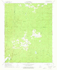
1968 Map of Wilderness
USGS Topo · Published 1977About this map
Wilderness sits at a crossroads in the Missouri Ozarks, a small settlement surrounded by the deep drainages of the Mark Twain National Forest. This 1960s landscape is defined by its complex hydrology, where numerous upland ponds like Cotham Pond and Brawley Pond contrast with the rugged hollows feeding into larger systems. The presence of Falling Spring and the nearby Tumbling Shoal suggests a topography of significant elevation changes and active spring-fed watercourses.
Find a feature on this map
44 named features on this map. Tap any name to fly to it.
Don’t see what you’re looking for? This feature index may not catch every label — zoom into the map to look around manually.
Map Details
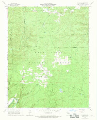
Editions of this 1968 Wilderness Map
2 editions found
Other maps of this area

1931 · Bandyville
USGS Topo · 1:48,000

1941 · Gatewood
USGS Topo · 1:62,500

1944 · Van Buren
USGS Topo · 1:62,500

1944 · Couch
USGS Topo · 1:62,500

1944 · Birch Tree
USGS Topo · 1:62,500

1945 · Gatewood
USGS Topo · 1:62,500

1946 · Couch
USGS Topo · 1:62,500

1946 · Van Buren
USGS Topo · 1:62,500

1948 · Birch Tree
USGS Topo · 1:62,500

1957 · Poplar Bluff
USGS Topo · 1:250,000