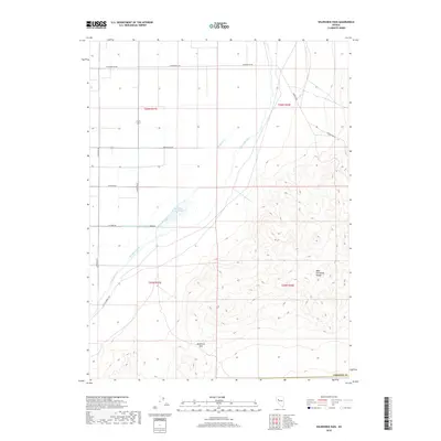
2018 Map of Wildhorse Pass
USGS Topo · Published 2018About this map
The West Humboldt Range dominates the eastern half of this landscape, rising sharply from the valley floor to form the high ground of the Wildhorse Pass. This area of Churchill County exhibits a stark contrast between the steep, unpopulated terrain of the mountains and the heavily managed water systems of the western plains. The Humboldt River and its associated irrigation network, including the Seven Ditch, Seventeen Ditch, and Sommers Ditch, trace the complex history of water rights and agricultural development in this arid region. Traces of early westward migration remain visible along the Old California Trl, which skirts the base of the mountains. The engineering of the Big Five Reservoir and Big Five Canal further illustrates the 20th-century efforts to reclaim and cultivate this part of the Nevada desert through a sophisticated system of drains and diversions.
Find a feature on this map
24 named features on this map. Tap any name to fly to it.
Don’t see what you’re looking for? This feature index may not catch every label — zoom into the map to look around manually.
Map Details
Editions of this 2018 Wildhorse Pass Map
This is the sole edition of this map. No revisions or reprints were ever made.
Other maps of this area

1908 · Carson Sink
USGS Topo · 1:250,000

1910 · Carson Sink
USGS Topo · 1:250,000

1931 · Lovelock
USGS Topo · 1:250,000

1935 · Lovelock
USGS Topo · 1:250,000

1951 · Carson Sink
USGS Topo · 1:62,500

1955 · Lovelock
USGS Topo · 1:250,000

1956 · Toulon
USGS Topo · 1:62,500

1956 · Lovelock
USGS Topo · 1:62,500

1957 · Reno
USGS Topo · 1:250,000

1959 · Lovelock
USGS Topo · 1:250,000