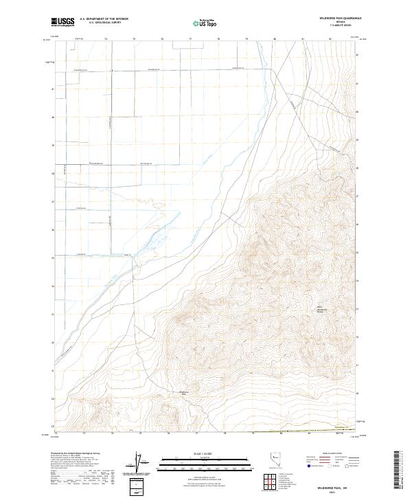
2021 Map of Wildhorse Pass
USGS Topo · Published 2021About this map
The West Humboldt Range dominates the eastern half of this landscape, rising sharply above the alluvial floor of the Great Basin. To the west, the arid basin is defined by an intricate network of water management, where the Humboldt River and various man-made channels like the Union-Rodgers Canal, Seven Ditch, and Sommers Ditch redirect the flow for agricultural use. This division between the stark, elevated terrain and the engineered valley floor illustrates the critical role of irrigation in sustaining the region.
Find a feature on this map
22 named features on this map. Tap any name to fly to it.
Don’t see what you’re looking for? This feature index may not catch every label — zoom into the map to look around manually.
Map Details
Editions of this 2021 Wildhorse Pass Map
This is the sole edition of this map. No revisions or reprints were ever made.
Other maps of this area

1908 · Carson Sink
USGS Topo · 1:250,000

1910 · Carson Sink
USGS Topo · 1:250,000

1931 · Lovelock
USGS Topo · 1:250,000

1935 · Lovelock
USGS Topo · 1:250,000

1951 · Carson Sink
USGS Topo · 1:62,500

1955 · Lovelock
USGS Topo · 1:250,000

1956 · Toulon
USGS Topo · 1:62,500

1956 · Lovelock
USGS Topo · 1:62,500

1957 · Reno
USGS Topo · 1:250,000

1959 · Lovelock
USGS Topo · 1:250,000