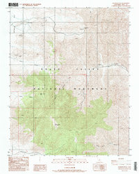
1988 Map of Wildrose Peak
USGS Topo · Published 1988About this map
Harrisburg sits at the edge of the high mountain terrain within the northern reaches of Death Valley National Monument as documented in the late 1980s. This landscape is defined by its deep mining history, with several named operations and numerous prospects scattered across the ridgelines. Industrial activity is centered around the Napoleon Mine and Argenta Mine, which are accessed by a network of unimproved roads and trails. The terrain rises sharply from Harrisburg Flats toward the summits of Bald Peak and Wildrose Peak, the latter reaching over 9,000 feet. Notable landmarks like Aguereberry Point overlook the vastness of Death Valley to the east, while drainage systems like Nemo Canyon and Wildrose Canyon carve through the Panamint Range, illustrating the complex topography that dictated movement through this desert environment.
Find a feature on this map
24 named features on this map. Tap any name to fly to it.
Don’t see what you’re looking for? This feature index may not catch every label — zoom into the map to look around manually.
Map Details
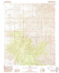
Editions of this 1988 Wildrose Peak Map
2 editions found
Other maps of this area

1908 · Furnace Creek
USGS Topo · 1:250,000

1908 · Ballarat
USGS Topo · 1:250,000

1910 · Furnace Creek
USGS Topo · 1:250,000

1913 · Ballarat
USGS Topo · 1:250,000

1948 · Death Valley
USGS Topo · 1:250,000

1952 · Furnace Creek
USGS Topo · 1:62,500

1952 · Bennetts Well
USGS Topo · 1:62,500

1952 · Telescope Peak
USGS Topo · 1:62,500

1952 · Emigrant Canyon
USGS Topo · 1:62,500

1954 · Death Valley
USGS Topo · 1:250,000