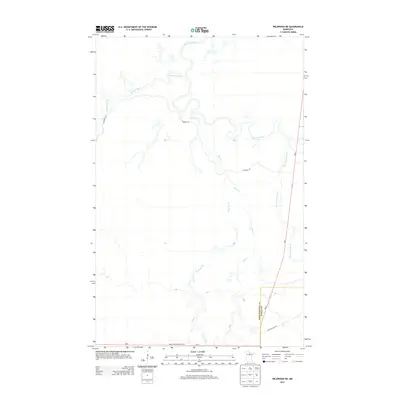
2013 Map of Wildwood NE
USGS Topo · Published 2013About this map
Plum Creek Lookout Tower stands as a focal point in this northern Minnesota landscape, overseeing a dense network of waterways and timberlands. The Big Fork River meanders through the northern section of the terrain, joined by numerous tributaries including Caldwell Brook, Plum Cr, and Wade Brook. This 2013 survey illustrates the remote character of the region, where the boundary between Koochiching and Itasca counties meets along a straight survey line. Transportation is limited to a few key routes such as MN-1 and MN-6, while the presence of the Cutfoot Sioux Trl in the southeast hints at the area's historical trail systems and forest management history.
Find a feature on this map
11 named features on this map. Tap any name to fly to it.
Don’t see what you’re looking for? This feature index may not catch every label — zoom into the map to look around manually.
Map Details
Editions of this 2013 Wildwood NE Map
This is the sole edition of this map. No revisions or reprints were ever made.
Other maps of this area

1918 · Zora
USGS Topo · 1:62,500

1919 · Zora
USGS Topo · 1:62,500

1919 · M
USGS Topo · 1:62,500

1919 · Margie
USGS Topo · 1:62,500

1954 · Hibbing
USGS Topo · 1:250,000

1954 · International Falls
USGS Topo · 1:250,000

1957 · Hibbing
USGS Topo · 1:250,000

1957 · International Falls
USGS Topo · 1:250,000

1958 · International Falls
USGS Topo · 1:250,000

1958 · Hibbing
USGS Topo · 1:250,000