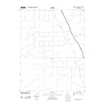
2012 Map of Wildwood School
USGS Topo · Published 2012About this map
Wildwood School serves as a central landmark in this rural landscape of Colusa County, surrounded by a grid of agricultural roads and seasonal watercourses. The drainage patterns are defined by numerous creeks flowing toward the valley floor, including Petroleum Cr, Little Buckeye Cr, and S Fork Buckeye Cr. These natural flows are intersected by the massive infrastructure of the Tehama Colusa Canal, which cuts through the region to manage water distribution for local farming. The settlement of Harrington is situated along Old Hwy 99W, which runs parallel to the primary transit corridor. A network of family-named roads like Wyer Rd, Jensen Ave, and Vawter Rd provides insight into the historic landholdings and development of this agricultural community during the early 21st century.
Find a feature on this map
47 named features on this map. Tap any name to fly to it.
Don’t see what you’re looking for? This feature index may not catch every label — zoom into the map to look around manually.
Map Details
Editions of this 2012 Wildwood School Map
This is the sole edition of this map. No revisions or reprints were ever made.
Other maps of this area

1888 · Marysville
USGS Topo · 1:125,000

1891 · Marysville
USGS Topo · 1:125,000

1894 · Marysville
USGS Topo · 1:125,000

1895 · Marysville
USGS Topo · 1:125,000

1905 · Harrington
USGS Topo · 1:24,000

1907 · Dunnigan
USGS Topo · 1:62,500

1907 · Colusa
USGS Topo · 1:62,500

1911 · Grimes
USGS Topo · 1:31,680

1916 · Harrington
USGS Topo · 1:31,680

1916 · Hershey
USGS Topo · 1:31,680