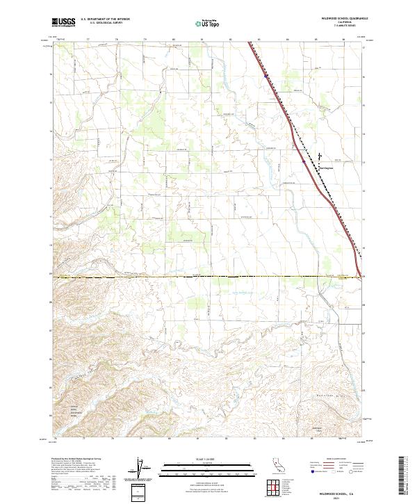
2021 Map of Wildwood School
USGS Topo · Published 2021About this map
Harrington sits at the northern edge of the Dunnigan Hills, marking a transition between the elevated terrain and the irrigation-rich plains of the Sacramento Valley. This agricultural landscape is defined by the Tehama Colusa Canal, which cuts a distinct diagonal path across the territory to manage water distribution. The boundary between Colusa County and Yolo County bisects the region, where the terrain shifts from the flat valley floor to the dissected slopes of Murphy Canyon. Numerous ephemeral drainages, including Little Buckeye Creek, Petroleum Creek, and Buckeye Creek, weave through the foothills, illustrating the complex natural hydrology that predates the canal system. The grid-like road network, featuring names like College City Road and Whiskey Creek Road, highlights the organized agricultural development that characterizes this part of Central California.
Find a feature on this map
63 named features on this map. Tap any name to fly to it.
Don’t see what you’re looking for? This feature index may not catch every label — zoom into the map to look around manually.
Map Details
Editions of this 2021 Wildwood School Map
This is the sole edition of this map. No revisions or reprints were ever made.
Other maps of this area

1888 · Marysville
USGS Topo · 1:125,000

1891 · Marysville
USGS Topo · 1:125,000

1894 · Marysville
USGS Topo · 1:125,000

1895 · Marysville
USGS Topo · 1:125,000

1905 · Harrington
USGS Topo · 1:24,000

1907 · Dunnigan
USGS Topo · 1:62,500

1907 · Colusa
USGS Topo · 1:62,500

1911 · Grimes
USGS Topo · 1:31,680

1916 · Harrington
USGS Topo · 1:31,680

1916 · Hershey
USGS Topo · 1:31,680