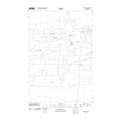
2011 Map of Wiley City
USGS Topo · Published 2011About this map
Wiley City and the surrounding agricultural lands of the Ahtanum Valley are captured here just after the first decade of the 21st century. The landscape is defined by a complex network of water management, where Ahtanum Creek and the Ahtanum Canal feed the valley's orchards and fields. This area is particularly significant for its concentration of tribal and community burial grounds, including the Saluskin Cemetery, Wah-Lal-La-Kite Cemetery, and Emeunot Cemetery, reflecting the deep cultural history of the Yakama Nation and local pioneers.
Find a feature on this map
111 named features on this map. Tap any name to fly to it.
Don’t see what you’re looking for? This feature index may not catch every label — zoom into the map to look around manually.
Map Details
Editions of this 2011 Wiley City Map
This is the sole edition of this map. No revisions or reprints were ever made.
Other maps of this area

1899 · Ellensburg
USGS Topo · 1:125,000

1901 · Ellensburg
USGS Topo · 1:125,000

1937 · White Swan
USGS Topo · 1:125,000

1950 · Yakima
USGS Topo · 1:250,000

1958 · Harrah
USGS Topo · 1:24,000
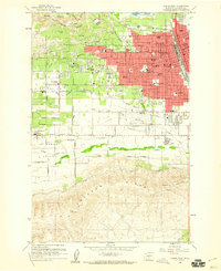
1958 · Yakima West
USGS Topo · 1:24,000
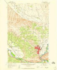
1958 · Selah
USGS Topo · 1:24,000

1958 · Fort Simcoe
USGS Topo · 1:62,500

1958 · Wiley City
USGS Topo · 1:24,000

1958 · White Swan
USGS Topo · 1:24,000