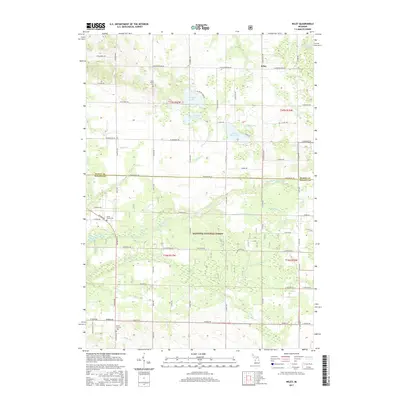
2017 Map of Wiley
USGS Topo · Published 2017About this map
Manistee National Forest encompasses the central and southern portions of this landscape, where the N Br Pentwater River and Cedar Cr weave through the wooded terrain. The area is defined by a dense network of sectional roads and glacial water features, including the notable Oxbow Lake and smaller bodies like Mud Lake and Saint Marys Lake. Local history is preserved at the small settlement of Wiley in the north and Smith Corners to the south. Genealogists will find three distinct burial grounds: Saint Peter's Cem, North Weare Cem, and Smith Corners Cem. This documentation shows a transitional zone where agricultural plots meet protected forest lands, marked by natural landmarks like Big Springs and several named drainage systems such as Oxbow-Lake Drain and Allen Drain.
Find a feature on this map
53 named features on this map. Tap any name to fly to it.
Don’t see what you’re looking for? This feature index may not catch every label — zoom into the map to look around manually.
Map Details
Editions of this 2017 Wiley Map
This is the sole edition of this map. No revisions or reprints were ever made.
Other maps of this area

1931 · Custer NW
USGS Topo · 1:31,680

1931 · Hart NW
USGS Topo · 1:31,680

1931 · Custer SW
USGS Topo · 1:31,680

1931 · Hart NE
USGS Topo · 1:31,680

1931 · Walkerville NW
USGS Topo · 1:31,680

1932 · Ludington NE
USGS Topo · 1:31,680

1932 · Ludington SW
USGS Topo · 1:31,680

1932 · Ludington SE
USGS Topo · 1:31,680

1932 · Ludington
USGS Topo · 1:31,680

1954 · Milwaukee
USGS Topo · 1:250,000