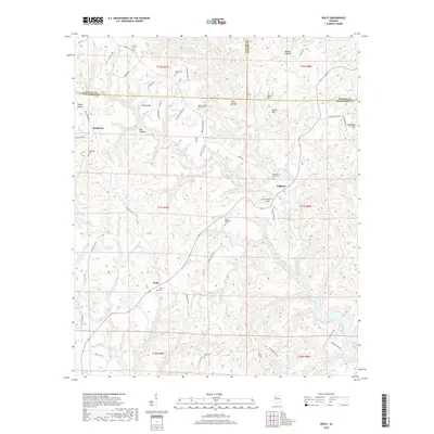
2018 Map of Wiley
USGS Topo · Published 2018About this map
Wiley and Sandtown anchor this rural landscape where the borders of Tuscaloosa, Fayette, and Walker counties converge. The terrain is defined by a dense network of ridges and hollows, including Poplar Hollow and Nance Hollow, which channel numerous tributaries toward Bankhead Lake in the southeast. For genealogists and local historians, the area is notably rich in family-named sites and early community markers, with over half a dozen burial grounds such as Rock Springs Cem, Goodwater Cem, and the Whitson Place Cem providing evidence of established family lineages. Small-scale settlements like Whitson and Flatwoods are linked by a complex web of named rural routes, including Wallace Ferry Rd and Who Knows Rd, reflecting a traditional Alabama hill country road network before modern consolidation.
Find a feature on this map
79 named features on this map. Tap any name to fly to it.
Don’t see what you’re looking for? This feature index may not catch every label — zoom into the map to look around manually.
Map Details
Editions of this 2018 Wiley Map
This is the sole edition of this map. No revisions or reprints were ever made.
Other maps of this area

1893 · Jasper
USGS Topo · 1:125,000

1899 · Brookwood
USGS Topo · 1:125,000

1926 · Samantha
USGS Topo · 1:48,000

1928 · Samantha
USGS Topo · 1:62,500

1929 · Searles
USGS Topo · 1:48,000

1934 · Searles
USGS Topo · 1:62,500

1949 · Parrish
USGS Topo · 1:24,000

1949 · Oakman
USGS Topo · 1:24,000

1949 · Tutwiler School
USGS Topo · 1:24,000

1949 · Wiley
USGS Topo · 1:24,000