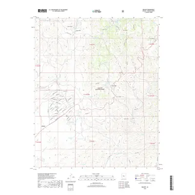
2018 Map of Wilhoit
USGS Topo · Published 2018About this map
The Hassayampa River and its myriad tributaries carve through this high-elevation landscape within the Prescott National Forest in Yavapai County. This 2018 survey documents the residential expansion of Wilhoit, where a dense network of suburban streets such as Magnolia Ln, W Abby Ln, and Emerson Dr contrasts sharply with the surrounding wilderness. To the northeast, the settlement of Glen Oaks sits near the foot of Mt Francis, surrounded by essential water sources for the arid climate including White Rock Water and Glen Oaks Spring.
Find a feature on this map
83 named features on this map. Tap any name to fly to it.
Don’t see what you’re looking for? This feature index may not catch every label — zoom into the map to look around manually.
Map Details
Editions of this 2018 Wilhoit Map
This is the sole edition of this map. No revisions or reprints were ever made.
Other maps of this area

1887 · Prescott
USGS Topo · 1:250,000

1892 · Prescott
USGS Topo · 1:250,000

1903 · Bradshaw Mountains
USGS Topo · 1:125,000

1903 · Congress
USGS Topo · 1:125,000

1904 · Congress
USGS Topo · 1:125,000

1905 · Jerome
USGS Topo · 1:125,000

1947 · Iron Springs
USGS Topo · 1:62,500

1947 · Mt. Union
USGS Topo · 1:62,500

1947 · Kirkland
USGS Topo · 1:62,500

1947 · Prescott
USGS Topo · 1:62,500