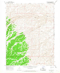
1965 Map of Wilkin Ridge
USGS Topo · Published 1967About this map
Wilkin Ridge defines the high ground of this Duchesne County landscape, which transitions from high, forested plateau in the southwest to a network of eroded canyons and dry washes in the northeast. The topography is meticulously detailed through photogrammetric methods from 1959 aerial photography and 1965 field checks, capturing a wilderness era before significant industrial development. Settlement is absent here, replaced by a sparse network of infrastructure including a Pipeline and intermittent resource markers like Drill Hole 5883. Named water sources such as White Mule Spring and Desert Spring indicate the critical importance of reliable water in this arid environment, while the presence of a Jeep Trail and other unnamed tracks suggests the area's use for grazing or exploration. Notable landmarks like Horner Knoll and Twin Knolls serve as primary navigational points across the dissected terrain of Big Wash and Petes Wash.
Find a feature on this map
14 named features on this map. Tap any name to fly to it.
Don’t see what you’re looking for? This feature index may not catch every label — zoom into the map to look around manually.
Map Details
Editions of this 1965 Wilkin Ridge Map
2 editions found
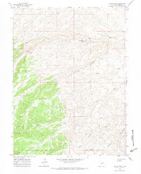
Other maps of this area

1885 · East Tavaputs
USGS Topo · 1:250,000

1885 · Ashley
USGS Topo · 1:250,000

1885 · Uinta
USGS Topo · 1:250,000

1886 · Price River
USGS Topo · 1:250,000

1896 · Price River
USGS Topo · 1:250,000

1917 · Vernal
USGS Topo · 1:125,000

1939 · Duchesne
USGS Topo · 1:125,000

1953 · Nutters Hole
USGS Topo · 1:62,500

1954 · Salt Lake City
USGS Topo · 1:250,000

1954 · Vernal
USGS Topo · 1:250,000