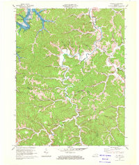
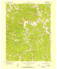
1970 Map of Willard
USGS Topo · Published 1972About this map
Little Sandy River and its numerous tributaries carve a complex landscape across the borders of Carter, Elliott, and Lawrence counties. By the early 1970s, the newly formed Grayson Lake had reshaped the northwestern corner of this area, though much of the surrounding terrain remains defined by the traditional ridge-and-hollow settlement patterns typical of eastern Kentucky. Small communities like Willard, Johns Run, and Beetle are linked by winding routes like KY 1 and KY 7, interspersed with numerous family cemeteries such as Hall Cem and McDavid Cem. The map reveals an active extractive economy, with mines and oil wells scattered throughout the hills, particularly near Jeriel and along Silver Mines Branch. From the recreational facilities at Grayson Lake State Park to the remote Backbone Hill, the sheet provides a detailed record of land use at the intersection of traditional Appalachian life and modern infrastructure.
Find a feature on this map
76 named features on this map. Tap any name to fly to it.
Don’t see what you’re looking for? This feature index may not catch every label — zoom into the map to look around manually.
Map Details
Editions of this 1970 Willard Map
2 editions found
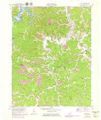
Other maps of this area

1903 · Kenova
USGS Topo · 1:125,000

1904 · Kenova
USGS Topo · 1:125,000

1950 · Bruin
USGS Topo · 1:24,000

1950 · Grahn
USGS Topo · 1:24,000

1950 · Isonville
USGS Topo · 1:24,000

1953 · Grayson
USGS Topo · 1:24,000

1953 · Rush
USGS Topo · 1:24,000
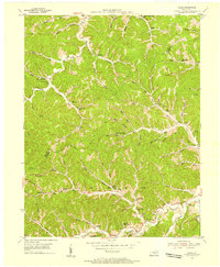
1953 · Mazie
USGS Topo · 1:24,000
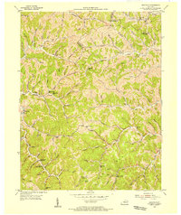
1953 · Webbville
USGS Topo · 1:24,000
1953 · Willard
USGS Topo · 1:24,000