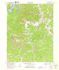
1970 Map of Willard
USGS Topo · Published 1979About this map
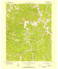
The Little Sandy River and its intricate drainage system anchor this portion of the Cumberland Plateau, where the landscape is marked by the development of the Grayson Lake reservoir. This 1970s revision captures the area's transition into a recreational and conservation hub, notably with the Grayson Lake State Park and Grayson Wildlife Management Area surrounding the impounded waters. Despite these modern shifts, the map remains a vital record of deep-rooted Kentucky settlements and family names. Narrow ridges like Hilton Ridge and Greasy Ridge separate the many hollows where rural life centered on small churches and family burial grounds. The presence of numerous mines and oil wells scattered across the topography points to a persistent extractive economy that existed alongside the region's rugged creek-bottom farming.
Find a feature on this map
80 named features on this map. Tap any name to fly to it.
Don’t see what you’re looking for? This feature index may not catch every label — zoom into the map to look around manually.
Map Details
Editions of this 1970 Willard Map
2 editions found
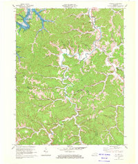
Other maps of this area

1903 · Kenova
USGS Topo · 1:125,000

1904 · Kenova
USGS Topo · 1:125,000

1950 · Bruin
USGS Topo · 1:24,000

1950 · Grahn
USGS Topo · 1:24,000

1950 · Isonville
USGS Topo · 1:24,000

1953 · Grayson
USGS Topo · 1:24,000

1953 · Rush
USGS Topo · 1:24,000
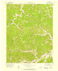
1953 · Mazie
USGS Topo · 1:24,000
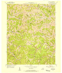
1953 · Webbville
USGS Topo · 1:24,000
1953 · Willard
USGS Topo · 1:24,000