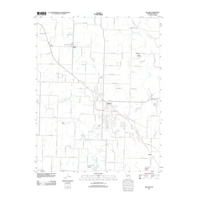
2011 Map of Willard
USGS Topo · Published 2011About this map
Willard serves as the central hub of this Missouri landscape, situated just northwest of the modern expansion of the Springfield Regional Airport. The terrain is defined by a network of karst features and water sources, including Cave Spring and Brower Spring, which feed into local drainage like Asher Creek and the Little Sac River. The rural character of the early 21st century is preserved here through numerous family-named crossings and small community centers, such as Hackney and Pearl.
Find a feature on this map
109 named features on this map. Tap any name to fly to it.
Don’t see what you’re looking for? This feature index may not catch every label — zoom into the map to look around manually.
Map Details
Editions of this 2011 Willard Map
This is the sole edition of this map. No revisions or reprints were ever made.
Other maps of this area

1884 · Springfield
USGS Topo · 1:125,000

1886 · Greenfield
USGS Topo · 1:125,000

1886 · Springfield
USGS Topo · 1:125,000

1888 · Greenfield
USGS Topo · 1:125,000

1919 · Halltown
USGS Topo · 1:62,500

1935 · Springfield
USGS Topo · 1:24,000

1936 · Brookline
USGS Topo · 1:24,000

1948 · Willard
USGS Topo · 1:24,000

1948 · Ebenezer
USGS Topo · 1:24,000

1954 · Springfield
USGS Topo · 1:250,000