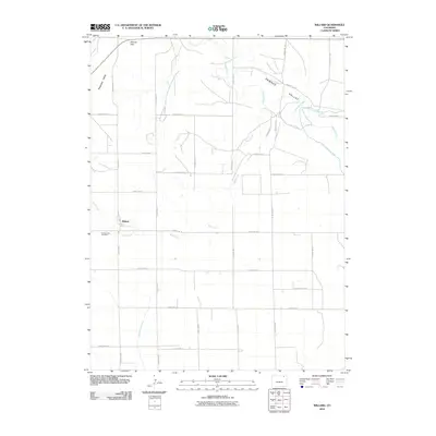
2010 Map of Willard
USGS Topo · Published 2010About this map
Willard sits at the intersection of a vast network of section roads in this high plains landscape of Logan County. The settlement, positioned near the Sand Creek drainage, is oriented around the local transportation grid including County Hwy-11 and several numbered county roads. The terrain is defined by the Pawnee Valley and the rising Pawnee Hills to the northwest, where the Pawnee Pass provides a natural break in the topography. Human management of the arid environment is evident through significant water infrastructure, specifically the Riverside Intake Canal and the North Sterling Canal, which wind through the northern and southern portions of the quadrangle. For those researching local heritage, the Prairie Lawn Cemetery serves as a primary landmark for the community's genealogy, situated just southwest of the main settlement area along the banks of Sand Creek.
Find a feature on this map
31 named features on this map. Tap any name to fly to it.
Don’t see what you’re looking for? This feature index may not catch every label — zoom into the map to look around manually.
Map Details
Editions of this 2010 Willard Map
This is the sole edition of this map. No revisions or reprints were ever made.
Other maps of this area

1951 · Willard
USGS Topo · 1:24,000

1951 · Messex
USGS Topo · 1:24,000

1951 · Antelope Springs
USGS Topo · 1:24,000

1951 · Wild Horse Lake
USGS Topo · 1:24,000

1951 · Atwood NE
USGS Topo · 1:24,000

1951 · Merino
USGS Topo · 1:24,000

1951 · Atwood
USGS Topo · 1:24,000

1954 · Sterling
USGS Topo · 1:250,000

1958 · Sterling
USGS Topo · 1:250,000

1971 · Messex
USGS Topo · 1:24,000