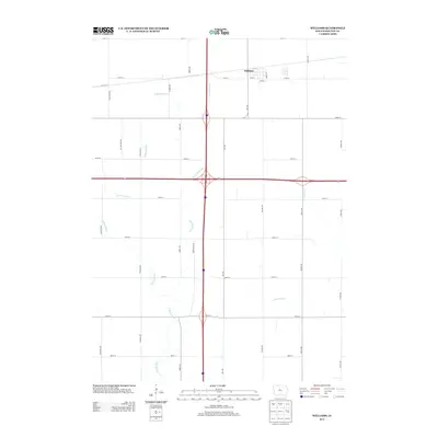
2013 Map of Williams
USGS Topo · Published 2013About this map
The town of Williams anchors the northeast corner of this Hamilton County landscape, situated at the intersection of a grid-iron road network and regional drainage systems. The town’s layout, featuring streets like Beech St and Ann St, sits just north of the major east-west corridor of Highway 20. The surrounding agricultural land is defined by the winding course of the S Skunk River and a series of engineered water management features, most notably Ditch Number 64. This north-south drainage channel runs nearly parallel to Interstate 35, illustrating the 21st-century relationship between natural hydrology and large-scale infrastructure. Smaller tributaries like Tipton Cr and the New York Br further segment the terrain, which is otherwise organized by a rigid system of rural avenues such as Tollman Ave and Vail Ave.
Find a feature on this map
29 named features on this map. Tap any name to fly to it.
Don’t see what you’re looking for? This feature index may not catch every label — zoom into the map to look around manually.
Map Details
Editions of this 2013 Williams Map
This is the sole edition of this map. No revisions or reprints were ever made.
Other maps of this area

1954 · Waterloo
USGS Topo · 1:250,000

1955 · Waterloo
USGS Topo · 1:250,000

1978 · Blairsburg
USGS Topo · 1:24,000

1978 · Ellsworth
USGS Topo · 1:24,000

1978 · Sheldon Creek
USGS Topo · 1:24,000

1978 · Jewell
USGS Topo · 1:24,000

1978 · Clarion SW
USGS Topo · 1:24,000

1978 · Williams
USGS Topo · 1:24,000

1979 · Buckeye West
USGS Topo · 1:24,000

1979 · Popejoy
USGS Topo · 1:24,000