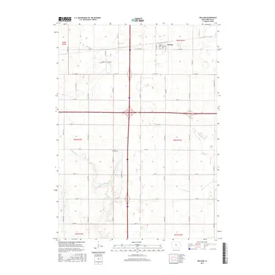
2015 Map of Williams
USGS Topo · Published 2015About this map
Williams serves as the primary community anchor in this portion of Hamilton County, located in the northeast corner of the map where a structured grid of streets including 1st St and Spruce St centers the town's layout. The surrounding landscape is defined by its agricultural heritage and an intricate network of waterways and drainage systems typical of the Iowa plains. The S Skunk River meanders across the northwest and central regions, while man-made interventions like Ditch Number 64 underscore the local efforts to manage the prairie hydrology for farming. Genealogists will find significant value in the documentation of local burial grounds, such as Saint Marys Cem and Williams Cem near the river, as well as the more remote Rose Grove Cem to the south. These features, along with the distinct paths of Tipton Cr and New York Br, provide a clear picture of the township's rural development and environmental management.
Find a feature on this map
38 named features on this map. Tap any name to fly to it.
Don’t see what you’re looking for? This feature index may not catch every label — zoom into the map to look around manually.
Map Details
Editions of this 2015 Williams Map
This is the sole edition of this map. No revisions or reprints were ever made.
Other maps of this area

1954 · Waterloo
USGS Topo · 1:250,000

1955 · Waterloo
USGS Topo · 1:250,000

1978 · Blairsburg
USGS Topo · 1:24,000

1978 · Ellsworth
USGS Topo · 1:24,000

1978 · Sheldon Creek
USGS Topo · 1:24,000

1978 · Jewell
USGS Topo · 1:24,000

1978 · Clarion SW
USGS Topo · 1:24,000

1978 · Williams
USGS Topo · 1:24,000

1979 · Buckeye West
USGS Topo · 1:24,000

1979 · Popejoy
USGS Topo · 1:24,000