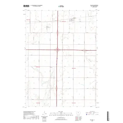
2018 Map of Williams
USGS Topo · Published 2018About this map
Williams anchors this Hamilton County landscape, situated where the local grid of streets like 1st St and Pine St meets the open agricultural sections of the Iowa prairie. The town center includes the local Po, while the surrounding countryside preserves several legacy burial grounds, including Saint Marys Cem, Williams Cem, and Rose Grove Cem. These sites provide important touchstones for local genealogical research in a region defined by its productive drainage and water systems. The S Skunk River meanders across the western half of the map, while the human hand is visible in the engineering of Ditch Number 64. Other waterways like New York Br and Tipton Cr shape the terrain, illustrating the hydrologic management required for the extensive farming operations that dominate the township sections.
Find a feature on this map
41 named features on this map. Tap any name to fly to it.
Don’t see what you’re looking for? This feature index may not catch every label — zoom into the map to look around manually.
Map Details
Editions of this 2018 Williams Map
This is the sole edition of this map. No revisions or reprints were ever made.
Other maps of this area

1954 · Waterloo
USGS Topo · 1:250,000

1955 · Waterloo
USGS Topo · 1:250,000

1978 · Blairsburg
USGS Topo · 1:24,000

1978 · Ellsworth
USGS Topo · 1:24,000

1978 · Sheldon Creek
USGS Topo · 1:24,000

1978 · Jewell
USGS Topo · 1:24,000

1978 · Clarion SW
USGS Topo · 1:24,000

1978 · Williams
USGS Topo · 1:24,000

1979 · Buckeye West
USGS Topo · 1:24,000

1979 · Popejoy
USGS Topo · 1:24,000