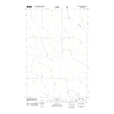
2011 Map of Williams Lake
USGS Topo · Published 2011About this map
Williams Creek and Bull Run Creek meander across this portion of Slope County, highlighting the drainage patterns of the western North Dakota badlands. The landscape is defined by its agricultural and ranching utility, anchored by the Northrup Ranch in the central-east. Water management is central to the area's geography, evidenced by Williams Lake and the associated Williams Dam, which provide a reliable water source in a region characterized by seasonal creek beds like Cottonwood Creek and Horse Creek. A network of section-line roads, including 188th Ave SW and 57th St SW, grid the territory, reflecting the enduring legacy of the Public Land Survey System in organizing the rural Dakota frontier.
Find a feature on this map
29 named features on this map. Tap any name to fly to it.
Don’t see what you’re looking for? This feature index may not catch every label — zoom into the map to look around manually.
Map Details
Editions of this 2011 Williams Lake Map
This is the sole edition of this map. No revisions or reprints were ever made.
Other maps of this area

1953 · Miles City
USGS Topo · 1:250,000

1953 · Dickinson
USGS Topo · 1:250,000

1957 · Dickinson
USGS Topo · 1:250,000

1957 · Miles City
USGS Topo · 1:250,000

1958 · Miles City
USGS Topo · 1:250,000

1979 · Three V Crossing
USGS Topo · 1:24,000

1980 · Golva
USGS Topo · 1:24,000

1980 · Pretty Butte
USGS Topo · 1:24,000

1980 · Boyce Creek West
USGS Topo · 1:24,000

1980 · Alpha
USGS Topo · 1:24,000