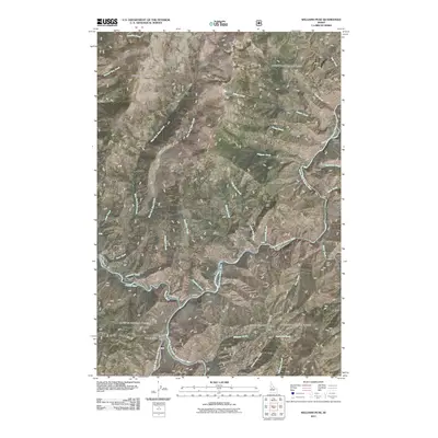
2011 Map of Williams Peak
USGS Topo · Published 2011About this map
The South Fork Salmon River carves a deep path through this portion of Valley County, joined by the Secesh River near the western edge of the quadrangle. This mountainous landscape is dominated by the prominence of Williams Peak, which serves as a literal high point and lookout location. The mapping reveals a backcountry infrastructure of forest roads and trails, such as Lick Creek Rd and FRD 340, which follow the winding river valleys and provide access to remote sites like Browns Camp and Indian Point.
Find a feature on this map
36 named features on this map. Tap any name to fly to it.
Don’t see what you’re looking for? This feature index may not catch every label — zoom into the map to look around manually.
Map Details
Editions of this 2011 Williams Peak Map
This is the sole edition of this map. No revisions or reprints were ever made.
Other maps of this area

1956 · Elk City
USGS Topo · 1:250,000

1957 · Challis
USGS Topo · 1:250,000

1960 · Elk City
USGS Topo · 1:250,000

1960 · Challis
USGS Topo · 1:250,000

1963 · Challis
USGS Topo · 1:250,000

1969 · Loon Lake
USGS Topo · 1:24,000

1969 · Pony Meadows
USGS Topo · 1:24,000

1969 · Enos Lake
USGS Topo · 1:24,000

1969 · Parks Peak
USGS Topo · 1:24,000

1969 · Williams Peak
USGS Topo · 1:24,000