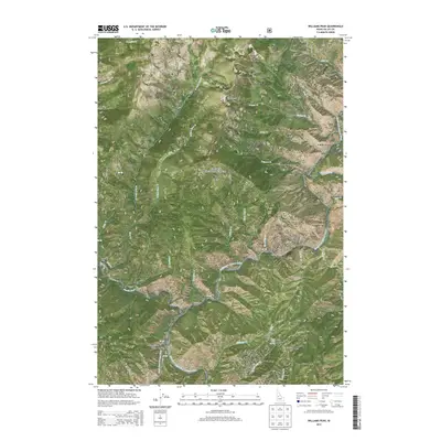
2013 Map of Williams Peak
USGS Topo · Published 2013About this map
Williams Peak dominates this high-elevation landscape within the Payette National Forest, a terrain defined by the deep incisions of the South Fork Salmon River and its numerous tributaries. At the southern end of the quadrangle, the Williams Peak Lookout stands near Dutch Oven Spring, overlooking a complex network of ridges and drainage basins. The confluence of the Secesh River and the South Fork Salmon River highlights the critical role of these waterways in shaping the local topography.
Find a feature on this map
53 named features on this map. Tap any name to fly to it.
Don’t see what you’re looking for? This feature index may not catch every label — zoom into the map to look around manually.
Map Details
Editions of this 2013 Williams Peak Map
This is the sole edition of this map. No revisions or reprints were ever made.
Other maps of this area

1956 · Elk City
USGS Topo · 1:250,000

1957 · Challis
USGS Topo · 1:250,000

1960 · Elk City
USGS Topo · 1:250,000

1960 · Challis
USGS Topo · 1:250,000

1963 · Challis
USGS Topo · 1:250,000

1969 · Loon Lake
USGS Topo · 1:24,000

1969 · Pony Meadows
USGS Topo · 1:24,000

1969 · Enos Lake
USGS Topo · 1:24,000

1969 · Parks Peak
USGS Topo · 1:24,000

1969 · Williams Peak
USGS Topo · 1:24,000