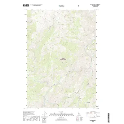
2020 Map of Williams Peak
USGS Topo · Published 2020About this map
Williams Peak rises as a prominent landmark within the Payette National Forest, overlooking a complex network of drainages that feed the South Fork Salmon River. This high-altitude landscape is defined by its dramatic relief and critical waterways, including the Secesh River and numerous tributaries like Zena Creek and Fitsum Creek. The presence of Fritser Ford suggests a historically important crossing point on the river, providing a glimpse into the early accessibility of this remote interior. Travel through the area is anchored by the Lick Creek Rd and various forest tracks that navigate the steep terrain. Landforms such as Reservoir Flat, Indian Point, and Rainbow Ridge provide essential navigation points for those exploring the high country. The map detail reflects a wilderness character where geological features and water systems dictate the human footprint, primarily centered on forest management and seasonal access.
Find a feature on this map
42 named features on this map. Tap any name to fly to it.
Don’t see what you’re looking for? This feature index may not catch every label — zoom into the map to look around manually.
Map Details
Editions of this 2020 Williams Peak Map
This is the sole edition of this map. No revisions or reprints were ever made.
Other maps of this area

1956 · Elk City
USGS Topo · 1:250,000

1957 · Challis
USGS Topo · 1:250,000

1960 · Elk City
USGS Topo · 1:250,000

1960 · Challis
USGS Topo · 1:250,000

1963 · Challis
USGS Topo · 1:250,000

1969 · Loon Lake
USGS Topo · 1:24,000

1969 · Pony Meadows
USGS Topo · 1:24,000

1969 · Enos Lake
USGS Topo · 1:24,000

1969 · Parks Peak
USGS Topo · 1:24,000

1969 · Williams Peak
USGS Topo · 1:24,000