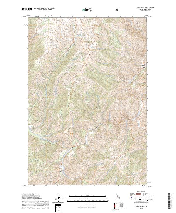
2024 Map of Williams Peak
USGS Topo · Published 2024About this map
Payette National Forest dominates this section of central Idaho, where high-elevation ridges separate the drainages of the Secesh River and the South Fork Salmon River. The landscape is defined by its complex network of seasonal creeks and primitive transport routes, reflecting a history of forest management and backcountry access. Significant landmarks such as Williams Peak and Rainbow Ridge provide the primary orientation points for this mountainous terrain. Navigation through the steep valleys is facilitated by a system of trails and service roads, including the Tailholt Trl and Zena Creek Trl. The intersection of water and land is noted at Fritser Ford, an established crossing point on Fritser Creek, while the presence of Reservoir Flat indicates historical or contemporary water management efforts near Deep Creek.
Find a feature on this map
44 named features on this map. Tap any name to fly to it.
Don’t see what you’re looking for? This feature index may not catch every label — zoom into the map to look around manually.
Map Details
Editions of this 2024 Williams Peak Map
This is the sole edition of this map. No revisions or reprints were ever made.
Other maps of this area

1956 · Elk City
USGS Topo · 1:250,000

1957 · Challis
USGS Topo · 1:250,000

1960 · Elk City
USGS Topo · 1:250,000

1960 · Challis
USGS Topo · 1:250,000

1963 · Challis
USGS Topo · 1:250,000

1969 · Loon Lake
USGS Topo · 1:24,000

1969 · Pony Meadows
USGS Topo · 1:24,000

1969 · Enos Lake
USGS Topo · 1:24,000

1969 · Parks Peak
USGS Topo · 1:24,000

1969 · Williams Peak
USGS Topo · 1:24,000