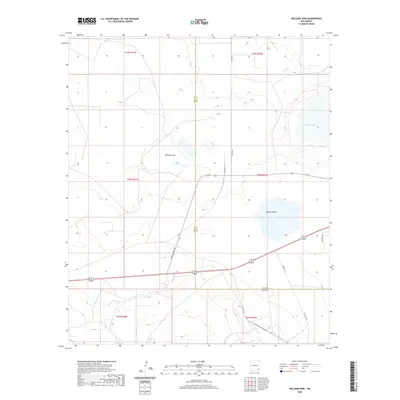
2020 Map of Williams Sink
USGS Topo · Published 2020About this map
Williams Sink defines the center of this arid landscape on the border of Eddy and Lea counties. The terrain is characterized by ephemeral basins and industrial access routes, reflecting the region's involvement in specialized energy and waste infrastructure. Notable hydrology includes Laguna Toston and Laguna Plata, which appear as shallow depressions in the high desert. The transportation network is built for specific utility, featuring Wipp Rd and the Doe Wipp Acc, indicating the area's proximity to the Waste Isolation Pilot Plant. Local travel is facilitated by named thoroughfares like Buffalo Grass Rd and Recovery Ln, which navigate the township and range divisions of the t20s r32e and t21s r31e sections.
Find a feature on this map
18 named features on this map. Tap any name to fly to it.
Don’t see what you’re looking for? This feature index may not catch every label — zoom into the map to look around manually.
Map Details
Editions of this 2020 Williams Sink Map
This is the sole edition of this map. No revisions or reprints were ever made.
Other maps of this area

1939 · Nash Draw
USGS Topo · 1:62,500

1942 · Clayton Basin
USGS Topo · 1:62,500

1943 · Clayton Basin
USGS Topo · 1:62,500

1943 · Nash Draw
USGS Topo · 1:62,500

1954 · Hobbs
USGS Topo · 1:250,000

1958 · Hobbs
USGS Topo · 1:250,000

1963 · Laguna Gatuna
USGS Topo · 1:62,500

1963 · Hat Mesa
USGS Topo · 1:62,500

1978 · Jal
USGS Topo · 1:100,000

1984 · Laguna Gatuna NW
USGS Topo · 1:24,000