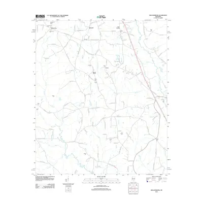
2012 Map of Williamsburg
USGS Topo · Published 2012About this map
Williamsburg and its surrounding rural communities in Covington County are centered around family homesteads and small church-related settlements at the start of the 21st century. The landscape is defined by the winding course of the Bouie River and its numerous tributaries, including Town Cr and Big Swamp Cr. A significant number of burial sites, such as the Williamsburg General Cem, McDonald Cem, and the Atwood Family Cem, speak to the deep genealogical roots of this Mississippi region. To the east, the Gabby Reed Brake and drainage from Katoma Cr reveal the low-lying wetland character that has historically shaped local land use and road patterns, like Crossroads Church Rd and Deliese Plantation Rd. Small named locales such as McDonald, Liberty, and Mount Horeb anchor the network of rural lanes.
Find a feature on this map
122 named features on this map. Tap any name to fly to it.
Don’t see what you’re looking for? This feature index may not catch every label — zoom into the map to look around manually.
Map Details
Editions of this 2012 Williamsburg Map
This is the sole edition of this map. No revisions or reprints were ever made.
Other maps of this area

1953 · Hattiesburg
USGS Topo · 1:250,000

1958 · Hattiesburg
USGS Topo · 1:250,000

1964 · Seminary
USGS Topo · 1:24,000

1965 · Hot Coffee
USGS Topo · 1:24,000

1965 · Sanford
USGS Topo · 1:24,000

1974 · Lone Star
USGS Topo · 1:24,000

1974 · Sumrall
USGS Topo · 1:24,000

1974 · Williamsburg
USGS Topo · 1:24,000

1974 · Collins
USGS Topo · 1:24,000

1974 · Bassfield
USGS Topo · 1:24,000