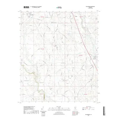
2018 Map of Williamsburg
USGS Topo · Published 2018About this map
Williamsburg and Collins anchor this portion of Covington County, where the landscape is defined by the convergence of several major waterways. The Leaf River flows through the southeastern quadrant near Seminary, joined by the winding Okatoma Creek and smaller tributaries like Terrible Cr and Town Cr. This survey illustrates a rural environment heavily marked by family and community history, evidenced by the numerous small burial grounds such as the Atwood Family Cem and Hemeter Cem. The terrain includes the prominent Big Swamp area, while the road network reflects the region’s development through routes like E Williamsburg Rd and Seminary-Williamsburg Rd. Researchers will find a high density of named local features, from the Holy Temple Cem to landmarks along Cooks Br, offering a clear view of the area's established social and physical geography in the early twenty-first century.
Find a feature on this map
104 named features on this map. Tap any name to fly to it.
Don’t see what you’re looking for? This feature index may not catch every label — zoom into the map to look around manually.
Map Details
Editions of this 2018 Williamsburg Map
This is the sole edition of this map. No revisions or reprints were ever made.
Other maps of this area

1953 · Hattiesburg
USGS Topo · 1:250,000

1958 · Hattiesburg
USGS Topo · 1:250,000

1964 · Seminary
USGS Topo · 1:24,000

1965 · Hot Coffee
USGS Topo · 1:24,000

1965 · Sanford
USGS Topo · 1:24,000

1974 · Lone Star
USGS Topo · 1:24,000

1974 · Sumrall
USGS Topo · 1:24,000

1974 · Williamsburg
USGS Topo · 1:24,000

1974 · Collins
USGS Topo · 1:24,000

1974 · Bassfield
USGS Topo · 1:24,000