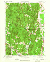
1964 Map of Williamsburg
USGS Topo · Published 1966About this map
Williamsburg and the surrounding Hill Towns of Hampshire and Franklin Counties appear here as they were mid-century, defined by a landscape of steep ridges and narrow river valleys. The Mill River winds through the southern settlements of Haydenville, Searsville, and Williamsburg, where the Williamsburg Station sits along the Boston and Maine Railroad line. This area reflects a legacy of small-scale water-powered industry, evidenced by features like the Brass Millpond and the Northampton Reservoir. To the north and east, the terrain rises sharply into the Conway State Forest and toward the village of Whately. Researchers will find numerous family-named landmarks such as O'Neil Hill and Meekin Hill, alongside local institutions like the Whately Center Sch and the Cricket Hill Cem, which anchor the historical footprint of these rural Massachusetts communities.
Find a feature on this map
68 named features on this map. Tap any name to fly to it.
Don’t see what you’re looking for? This feature index may not catch every label — zoom into the map to look around manually.
Map Details
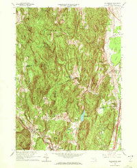
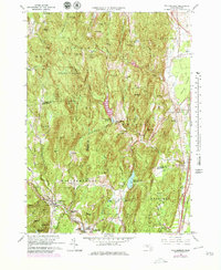
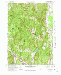
Editions of this 1964 Williamsburg Map
4 editions found
Other maps of this area

1885 · Northampton
USGS Topo · 1:62,500

1886 · Hawley
USGS Topo · 1:62,500

1886 · Chesterfield
USGS Topo · 1:62,500

1886 · Northampton
USGS Topo · 1:62,500

1888 · Chesterfield
USGS Topo · 1:62,500

1890 · Hawley
USGS Topo · 1:62,500

1890 · Greenfield
USGS Topo · 1:62,500

1891 · Northampton
USGS Topo · 1:62,500

1893 · Northampton
USGS Topo · 1:62,500

1893 · Chesterfield
USGS Topo · 1:62,500