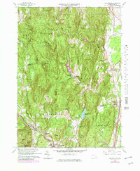
1964 Map of Williamsburg
USGS Topo · Published 1979About this map
Williamsburg and the surrounding Hill Towns sit at a geographic crossroads where the Mill River and West Brook carve through high ridges. This 1960s revision shows the area's transition into a landscape of conservation and water management, featuring the Conway State Forest and the Northampton Reservoir. The industrial legacy of the region remains visible at Brass Mill Pond in Haydenville, while the rail connections of an earlier era are still marked at the Williamsburg Station. The map captures the distinct character of Whately and West Whately, where narrow roads like Plain Street and Swamp Road connect small settlements amidst topographic landmarks such as Mt Esther and Chestnut Mtn. Local institutions like the Whately Center Sch and the Williamsburg Rod and Gun Club anchor these rural communities.
Find a feature on this map
78 named features on this map. Tap any name to fly to it.
Don’t see what you’re looking for? This feature index may not catch every label — zoom into the map to look around manually.
Map Details
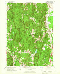
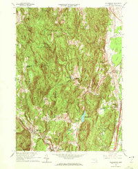
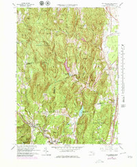
Editions of this 1964 Williamsburg Map
4 editions found
Other maps of this area

1885 · Northampton
USGS Topo · 1:62,500

1886 · Hawley
USGS Topo · 1:62,500

1886 · Chesterfield
USGS Topo · 1:62,500

1886 · Northampton
USGS Topo · 1:62,500

1888 · Chesterfield
USGS Topo · 1:62,500

1890 · Hawley
USGS Topo · 1:62,500

1890 · Greenfield
USGS Topo · 1:62,500

1891 · Northampton
USGS Topo · 1:62,500

1893 · Northampton
USGS Topo · 1:62,500

1893 · Chesterfield
USGS Topo · 1:62,500