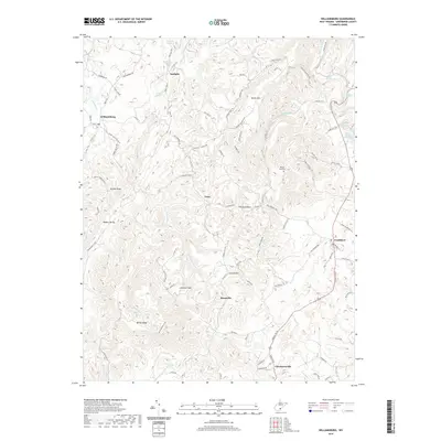
2019 Map of Williamsburg
USGS Topo · Published 2019About this map
The unincorporated community of Unus sits at the center of this rural Greenbrier County landscape, where the karst topography of the Appalachian Plateaus is evidenced by numerous subterranean water sources. Distinctive geological features such as Matts Black Cave Spring and McFerrin Breakdown Cave Spring appear along the eastern edge near Frankford, highlighting the complex drainage patterns of the region.
Find a feature on this map
95 named features on this map. Tap any name to fly to it.
Don’t see what you’re looking for? This feature index may not catch every label — zoom into the map to look around manually.
Map Details
Editions of this 2019 Williamsburg Map
This is the sole edition of this map. No revisions or reprints were ever made.
Other maps of this area

1887 · Hinton
USGS Topo · 1:125,000

1887 · Lewisburg
USGS Topo · 1:125,000

1889 · Nicholas
USGS Topo · 1:125,000

1891 · Lewisburg
USGS Topo · 1:125,000

1891 · Nicholas
USGS Topo · 1:125,000

1891 · Huntersville
USGS Topo · 1:125,000

1892 · Hinton
USGS Topo · 1:125,000

1894 · Huntersville
USGS Topo · 1:125,000

1901 · Nicholas
USGS Topo · 1:125,000

1918 · Richwood
USGS Topo · 1:62,500