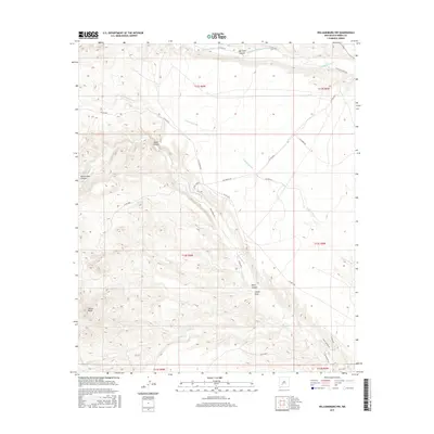
2017 Map of Williamsburg NW
USGS Topo · Published 2017About this map
Cuchillo Community-Ditch reflects the critical importance of water management in the arid landscape of Sierra County, drawing from Cuchillo Negro Cr in the northern portion of this survey. The terrain is defined by a series of deep drainage systems, including Hok Farm Canyon, Indian Canyon, and Board Gate Canyon, which cut through the high ground leading toward the García Peaks. This network of canyons and draws, such as Ladder Draw and Kelly Canyon, illustrates the complex topography that dictated the placement of local routes like Cuchillo Creek Rd and Chickadee Rd. Further south, the intermittent flows of Palomas Cr and Salado Cr cross a region marked by rural roads and land divisions, providing a detailed view of the natural watercourses that shaped early settlement and ranching boundaries in this part of New Mexico.
Find a feature on this map
33 named features on this map. Tap any name to fly to it.
Don’t see what you’re looking for? This feature index may not catch every label — zoom into the map to look around manually.
Map Details
Editions of this 2017 Williamsburg NW Map
This is the sole edition of this map. No revisions or reprints were ever made.
Other maps of this area

1954 · Tularosa
USGS Topo · 1:250,000

1958 · Tularosa
USGS Topo · 1:250,000

1961 · Priest Tank
USGS Topo · 1:24,000

1961 · Huerfano Hill
USGS Topo · 1:24,000

1961 · Saladone Tank
USGS Topo · 1:24,000

1961 · Williamsburg NW
USGS Topo · 1:24,000

1961 · Williamsburg
USGS Topo · 1:24,000

1961 · Cuchillo
USGS Topo · 1:24,000

1963 · Bell Mountain
USGS Topo · 1:24,000

1963 · Thumb Tank Peak
USGS Topo · 1:24,000