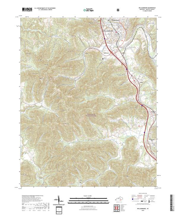
2022 Map of Williamsburg
USGS Topo · Published 2022About this map
The Cumberland River winds through the heart of Williamsburg, where the University of the Cumberlands and the Whitley County Courthouse anchor the town center. The landscape transitions sharply from the urban grid of Highland Park and the civic core to the dense woodland of the Daniel Boone National Forest, which covers much of the southwestern terrain. This proximity of institutional development to protected forest land illustrates the unique spatial character of this part of Whitley County.
Find a feature on this map
111 named features on this map. Tap any name to fly to it.
Don’t see what you’re looking for? This feature index may not catch every label — zoom into the map to look around manually.
Map Details
Editions of this 2022 Williamsburg Map
This is the sole edition of this map. No revisions or reprints were ever made.
Other maps of this area

1890 · Williamsburg
USGS Topo · 1:125,000

1894 · Williamsburg
USGS Topo · 1:125,000

1952 · Wofford
USGS Topo · 1:24,000

1952 · Saxton
USGS Topo · 1:24,000

1952 · Hollyhill
USGS Topo · 1:24,000

1952 · Rockholds
USGS Topo · 1:24,000

1952 · Cumberland Falls
USGS Topo · 1:24,000

1952 · Williamsburg
USGS Topo · 1:24,000
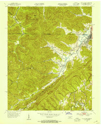
1953 · Jellico West
USGS Topo · 1:24,000
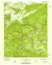
1953 · Jellico East
USGS Topo · 1:24,000