
1952 Map of Rockholds
USGS Topo · Published 1954About this map
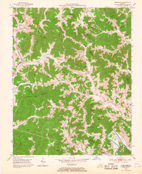
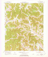
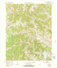
Watts Creek and the Louisville and Nashville railroad corridor define the primary settlement axis in this southeastern Kentucky valley. The village of Rockholds sits at the junction of KY 26 and KY 511, serving as a hub for a dispersed rural population connected by narrow hollows and ridge roads. The landscape is heavily marked by the region's extractive economy, with numerous Strip Mines and a Strip Mine cut into the hillsides of Bunch Mountain and King Mountain.
Find a feature on this map
84 named features on this map. Tap any name to fly to it.
Don’t see what you’re looking for? This feature index may not catch every label — zoom into the map to look around manually.
Map Details
Editions of this 1952 Rockholds Map
4 editions found
Other maps of this area

1886 · Cumberland Gap
USGS Topo · 1:125,000

1888 · Cumberland Gap
USGS Topo · 1:125,000

1890 · Williamsburg
USGS Topo · 1:125,000

1891 · Cumberland Gap
USGS Topo · 1:125,000

1894 · Williamsburg
USGS Topo · 1:125,000

1952 · Corbin
USGS Topo · 1:24,000

1952 · Wofford
USGS Topo · 1:24,000

1952 · Barbourville
USGS Topo · 1:24,000

1952 · Heidrick
USGS Topo · 1:24,000

1952 · Vox
USGS Topo · 1:24,000