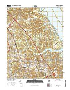
2016 Map of Williamsburg
USGS Topo · Published 2016About this map
Williamsburg and the surrounding Tidewater landscape appear in high detail on this contemporary survey, showcasing the historical core alongside 21st-century residential expansion. The campus of the Coll of William and Mary and the Bruton Parish Churchyard anchor the city center, while the eastern edge is defined by the Colonial National Historical Park and the restricted grounds of the Camp Peary Landing Strip.
Find a feature on this map
201 named features on this map. Tap any name to fly to it.
Don’t see what you’re looking for? This feature index may not catch every label — zoom into the map to look around manually.
Map Details
Editions of this 2016 Williamsburg Map
This is the sole edition of this map. No revisions or reprints were ever made.
Other maps of this area

1906 · Williamsburg
USGS Topo · 1:62,500

1907 · Yorktown
USGS Topo · 1:62,500

1917 · Toano
USGS Topo · 1:62,500

1918 · Toano
USGS Topo · 1:62,500

1919 · Surry
USGS Topo · 1:62,500

1943 · Yorktown
USGS Topo · 1:62,500

1943 · Richmond
USGS Topo · 1:250,000

1944 · Yorktown
USGS Topo · 1:24,000

1949 · Richmond
USGS Topo · 1:250,000

1950 · Cobham Bay
USGS Topo · 1:24,000