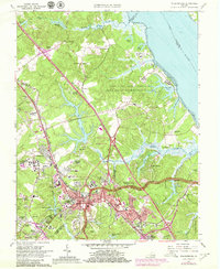
1965 Map of Williamsburg
USGS Topo · Published 1979About this map
Williamsburg is documented here during a period of significant mid-century suburban expansion, showing a landscape where centuries of Virginia history meet modern infrastructure. The College of William and Mary and the Historical Area sit at the center of the city, with landmarks like the Governors Palace, The Capitol, and the Bruton Parish Ch clearly identified. Surrounding the colonial core, new residential developments such as Skipwith Farms, Plantation Heights, and Middletowne Farms illustrate the growth of the 1960s.
Find a feature on this map
112 named features on this map. Tap any name to fly to it.
Don’t see what you’re looking for? This feature index may not catch every label — zoom into the map to look around manually.
Map Details
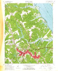
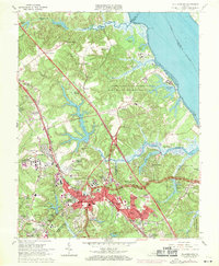
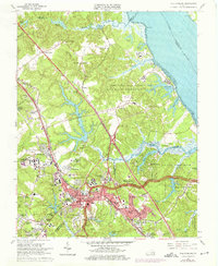
Editions of this 1965 Williamsburg Map
4 editions found
Other maps of this area

1906 · Williamsburg
USGS Topo · 1:62,500

1907 · Yorktown
USGS Topo · 1:62,500

1917 · Toano
USGS Topo · 1:62,500

1918 · Toano
USGS Topo · 1:62,500

1919 · Surry
USGS Topo · 1:62,500

1943 · Yorktown
USGS Topo · 1:62,500

1943 · Richmond
USGS Topo · 1:250,000

1944 · Yorktown
USGS Topo · 1:24,000

1949 · Richmond
USGS Topo · 1:250,000

1950 · Cobham Bay
USGS Topo · 1:24,000