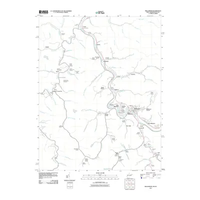
2011 Map of Williamson
USGS Topo · Published 2011About this map
The Tug Fork river defines the border between West Virginia and Kentucky in this 2011 survey, winding through a corridor of coal-country settlements and family-named hollows. The city of Williamson serves as the focal point, surrounded by residential clusters like Victoria Court, West Williamson, and South Williamson. The map reveals a high density of small family burial grounds that tell the story of generations in Appalachia, including the Orrison R Lowe Number One Cemetery, Thomas Shermon Lowe Cemetery, and the Weddington Cemetery.
Find a feature on this map
118 named features on this map. Tap any name to fly to it.
Don’t see what you’re looking for? This feature index may not catch every label — zoom into the map to look around manually.
Map Details
Editions of this 2011 Williamson Map
This is the sole edition of this map. No revisions or reprints were ever made.
Other maps of this area

1887 · Warfield
USGS Topo · 1:125,000

1891 · Warfield
USGS Topo · 1:125,000

1909 · Matewan
USGS Topo · 1:48,000

1910 · Holden
USGS Topo · 1:48,000

1910 · Naugatuck
USGS Topo · 1:48,000

1912 · Naugatuck
USGS Topo · 1:62,500

1912 · Holden
USGS Topo · 1:62,500

1915 · Williamson
USGS Topo · 1:48,000

1915 · Naugatuck
USGS Topo · 1:48,000

1915 · Matewan
USGS Topo · 1:48,000