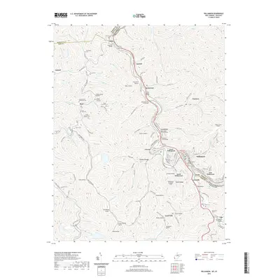
2019 Map of Williamson
USGS Topo · Published 2019About this map
The Tug Fork river defines the border between Kentucky and West Virginia, carving through a landscape of steep hollows and narrow valleys where coal-country settlements like Williamson and Chattaroy took root. The Norfolk Southern railroad runs parallel to the water, serving as the industrial backbone for towns such as Borderland, Nolan, and Goody. The terrain is deeply inscribed with local history, evidenced by the high density of family burial grounds including the Orrison R Lowe Number One Cem, the Thomas Sherman Lowe Cem, and the Stepp-Vance Cem. Modern infrastructure and residential development are concentrated in the flats of South Williamson and East Williamson, while landmarks like the Mingo County Airport and the Pond Creek Tunnel show the ongoing adaptation to this complex topography. Small communities like Leckieville and Forest Hills occupy the tributary branches, where names like Indian Grave Hollow and Groundhog Hollow reflect the traditional nomenclature of the Tug Valley.
Find a feature on this map
162 named features on this map. Tap any name to fly to it.
Don’t see what you’re looking for? This feature index may not catch every label — zoom into the map to look around manually.
Map Details
Editions of this 2019 Williamson Map
This is the sole edition of this map. No revisions or reprints were ever made.
Other maps of this area

1887 · Warfield
USGS Topo · 1:125,000

1891 · Warfield
USGS Topo · 1:125,000

1909 · Matewan
USGS Topo · 1:48,000

1910 · Holden
USGS Topo · 1:48,000

1910 · Naugatuck
USGS Topo · 1:48,000

1912 · Naugatuck
USGS Topo · 1:62,500

1912 · Holden
USGS Topo · 1:62,500

1915 · Williamson
USGS Topo · 1:48,000

1915 · Naugatuck
USGS Topo · 1:48,000

1915 · Matewan
USGS Topo · 1:48,000