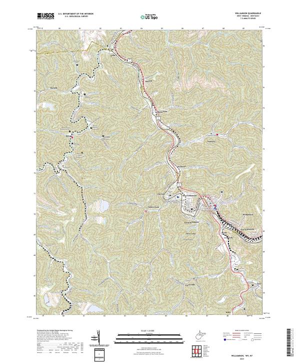
2023 Map of Williamson
USGS Topo · Published 2023About this map
Williamson and its surrounding coal-country settlements line the banks of the Tug Fork along the border of West Virginia and Kentucky. This modern survey details the dense development of the regional hub, from the Mingo County Courthouse and Mingo Memorial Building to the campus of Southern West Virginia Community and Technical College. Beyond the urban center, the landscape is defined by steep hollows like Negro Hollow and Frog Pond Hollow, where small communities such as Chattaroy, Nolan, and Goodman follow the narrow creek beds.
Find a feature on this map
129 named features on this map. Tap any name to fly to it.
Don’t see what you’re looking for? This feature index may not catch every label — zoom into the map to look around manually.
Map Details
Editions of this 2023 Williamson Map
This is the sole edition of this map. No revisions or reprints were ever made.
Other maps of this area

1887 · Warfield
USGS Topo · 1:125,000

1891 · Warfield
USGS Topo · 1:125,000

1909 · Matewan
USGS Topo · 1:48,000

1910 · Holden
USGS Topo · 1:48,000

1910 · Naugatuck
USGS Topo · 1:48,000

1912 · Naugatuck
USGS Topo · 1:62,500

1912 · Holden
USGS Topo · 1:62,500

1915 · Williamson
USGS Topo · 1:48,000

1915 · Naugatuck
USGS Topo · 1:48,000

1915 · Matewan
USGS Topo · 1:48,000