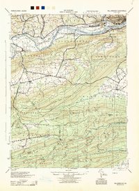
1944 Map of Williamsport
USGS Topo · Published 1944About this map
The West Branch Susquehanna River serves as the central artery for this region during the mid-1940s, separating the industrial hub of Williamsport and Newberry from the southern heights of Susquehanna Mountain. The map illustrates a dense network of valley settlements and rural infrastructure, including the Pennsylvania RR corridor and several local educational landmarks like Martins School and Hillside School.
Find a feature on this map
83 named features on this map. Tap any name to fly to it.
Don’t see what you’re looking for? This feature index may not catch every label — zoom into the map to look around manually.
Map Details
Editions of this 1944 Williamsport Map
This is the sole edition of this map. No revisions or reprints were ever made.
Other maps of this area
1893 · Sunbury
USGS Topo · 1:62,500
1921 · Williamsport
USGS Topo · 1:48,000
1921 · Trout Run
USGS Topo · 1:62,500
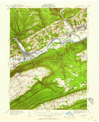
1921 · Lock Haven
USGS Topo · 1:62,500
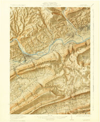
1923 · Lock Haven
USGS Topo · 1:62,500
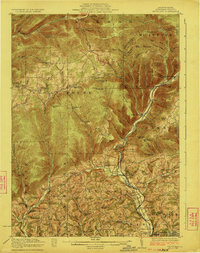
1923 · Trout Run
USGS Topo · 1:62,500
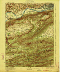
1923 · Williamsport
USGS Topo · 1:62,500
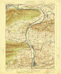
1924 · Milton
USGS Topo · 1:62,500
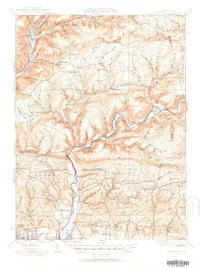
1930 · Warrensville
USGS Topo · 1:62,500
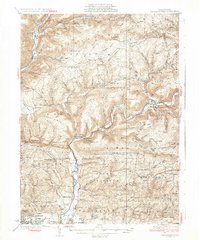
1934 · Warrensville
USGS Topo · 1:62,500
Featured Places
- Williamsport, PA
- White Deer Township, PA
- Garden View, Old Lycoming Township
- Duboistown, PA
- Bastress Township, PA