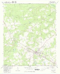
1979 Map of Williston
USGS Topo · Published 1979About this map
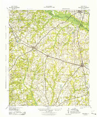
Williston serves as the focal point of this late 1970s survey, situated along the Southern railroad line as it traverses the Aiken Co and Barnwell Co border. The landscape is defined by a dense network of country churches, including Canaan Fair Ch, Spring Branch Ch, and Jordan Ch, which anchor the rural communities surrounding the town. Education and recreation are central to the local geography, evidenced by the Edwards Jr High Sch and the Golf Course located on the southern edge of the primary settlement.
Find a feature on this map
38 named features on this map. Tap any name to fly to it.
Don’t see what you’re looking for? This feature index may not catch every label — zoom into the map to look around manually.
Map Details
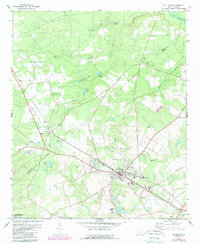
Editions of this 1979 Williston Map
2 editions found
Other maps of this area

1920 · Aiken
USGS Topo · 1:48,000

1920 · Talatha
USGS Topo · 1:48,000

1921 · Aiken
USGS Topo · 1:62,500

1921 · Talatha
USGS Topo · 1:62,500

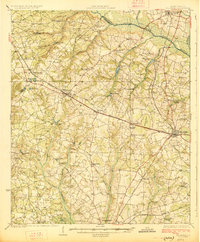
1923 · Williston
USGS Topo · 1:48,000
1927 · Williston
USGS Topo · 1:62,500
1943 · Aiken
USGS Topo · 1:62,500

1943 · Augusta East
USGS Topo · 1:125,000
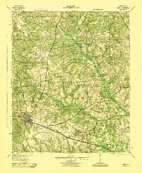
1943 · Williston
USGS Topo · 1:62,500

1943 · Talatha
USGS Topo · 1:62,500