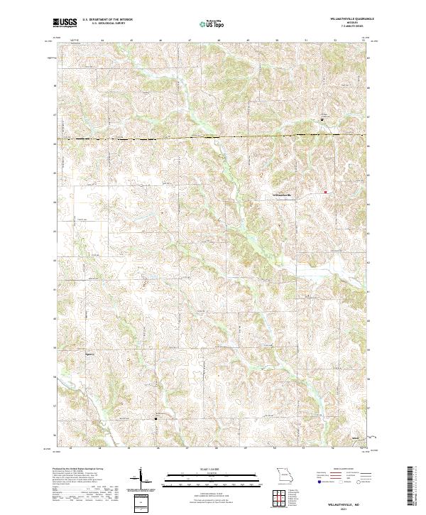
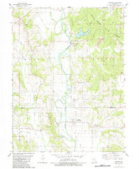
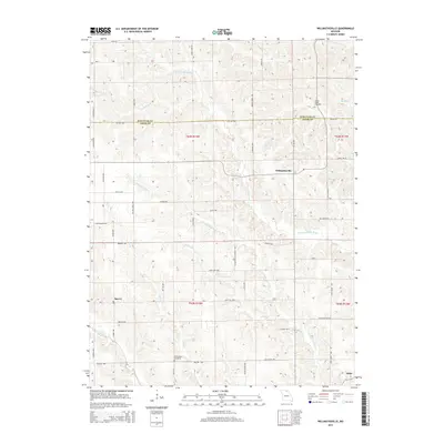
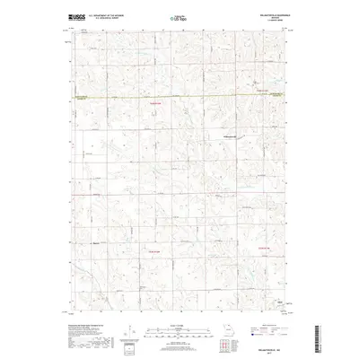
2021 Map of Willmathsville
USGS Topo · Published 2021About this map
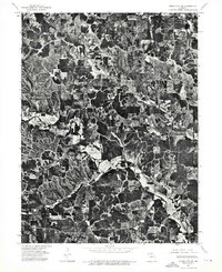
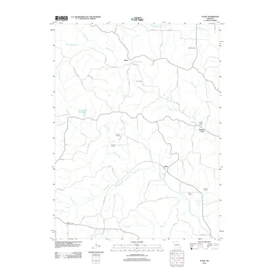
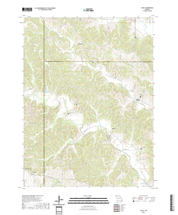
Willmathsville and Sperry anchor this rural landscape in northeastern Missouri, situated where the northern edge of Adair County meets the Schuyler County line. The area is defined by a dense network of watercourses, including the N Fork S Fabius River and the S Fork Fabius River, which carve through the terrain alongside smaller tributaries like Tayaninhy Br and Cottonwood Fork. This drainage pattern has historically dictated the placement of farms and cemeteries across the townships.
Find a feature on this map
63 named features on this map. Tap any name to fly to it.
Don’t see what you’re looking for? This feature index may not catch every label — zoom into the map to look around manually.
Map Details
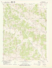
Editions of this 2021 Willmathsville Map
This is the sole edition of this map. No revisions or reprints were ever made.
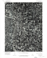
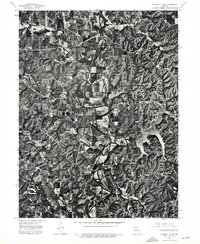
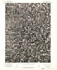
Historical Maps of Adair Through Time
29 maps found
1963 Nind
Adair County, MO
1963 Pure Air
Adair County, MO
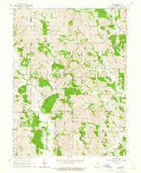
1966 Willmathsville
Adair County, MO
1974 Green City SE
Adair County, MO
1974 Kirksville NE
Adair County, MO
1974 Kirksville NW
Adair County, MO
1974 Queen City SE
Adair County, MO
1979 Gifford
Adair County, MO
1979 Stahl
Adair County, MO
2012 Gifford
Adair County, MO
2012 Nind
Adair County, MO
2012 Pure Air
Adair County, MO
2012 Stahl
Adair County, MO
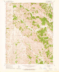
2012 Willmathsville
Adair County, MO
2015 Gifford
Adair County, MO
2015 Nind
Adair County, MO
2015 Pure Air
Adair County, MO
2015 Stahl
Adair County, MO
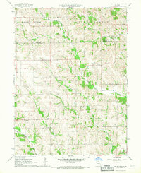
2015 Willmathsville
Adair County, MO
2017 Gifford
Adair County, MO
2017 Nind
Adair County, MO
2017 Pure Air
Adair County, MO
2017 Stahl
Adair County, MO
2017 Willmathsville
Adair County, MO
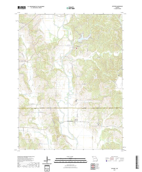
2021 Gifford
Adair County, MO
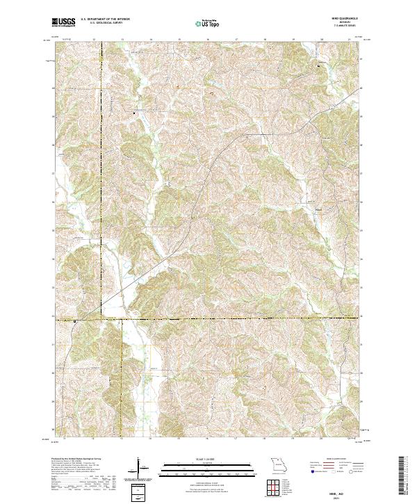
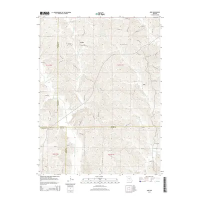
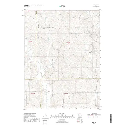
2021 Nind
Adair County, MO
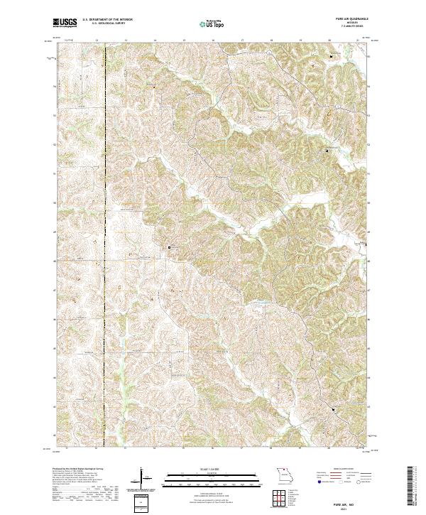
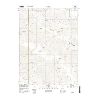
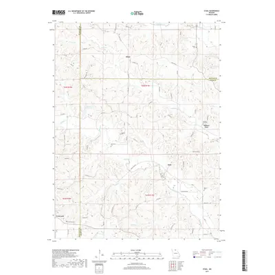
2021 Pure Air
Adair County, MO
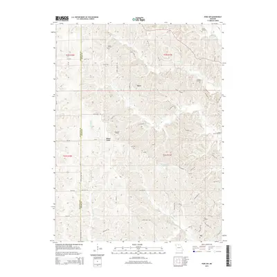
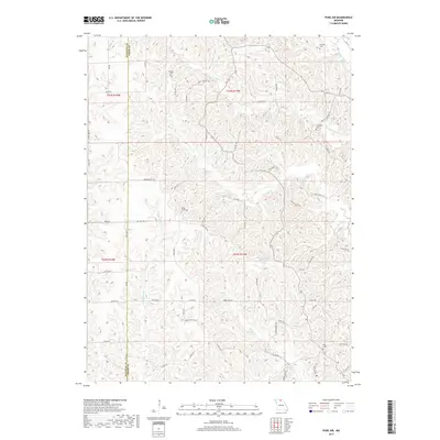
2021 Stahl
Adair County, MO
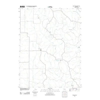
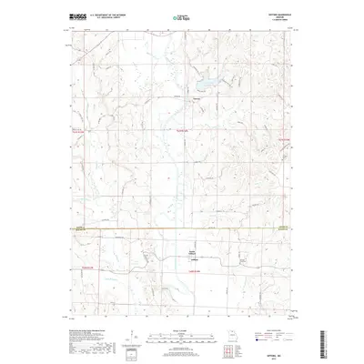
2021 Willmathsville
Adair County, MO