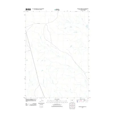
2012 Map of Willow Creek NE
USGS Topo · Published 2012About this map
Cuny Table Rd serves as the primary east-west artery across this high-plains landscape in Shannon County, showing the sparse infrastructure of the region during the early twenty-first century. The terrain is defined by an intricate network of ephemeral watercourses including W Horse Creek and E Horse Creek, which drain the open range toward the north. In the southern portion of the quadrangle, the headwaters of W Fork Mule Creek and E Fork Mule Creek emerge, illustrating the subtle continental divide that directs local drainage. This U.S. Geological Survey representation reflects the modern rural connectivity of the area, anchored by Bia 2, providing a clear record of the transportation corridors essential to the local ranching and tribal community during this era.
Find a feature on this map
6 named features on this map. Tap any name to fly to it.
Don’t see what you’re looking for? This feature index may not catch every label — zoom into the map to look around manually.
Map Details
Editions of this 2012 Willow Creek NE Map
This is the sole edition of this map. No revisions or reprints were ever made.
Other maps of this area

1950 · Cuny Table East
USGS Topo · 1:24,000

1951 · Rockyford SW
USGS Topo · 1:24,000

1951 · Willow Creek NW
USGS Topo · 1:24,000

1951 · Rockyford NW
USGS Topo · 1:24,000

1951 · Willow Creek NE
USGS Topo · 1:24,000

1951 · Red Shirt SW
USGS Topo · 1:24,000

1951 · Cuny Table West
USGS Topo · 1:24,000

1955 · Hot Springs
USGS Topo · 1:250,000

1967 · Willow Creek SW
USGS Topo · 1:24,000

1967 · Willow Creek
USGS Topo · 1:24,000