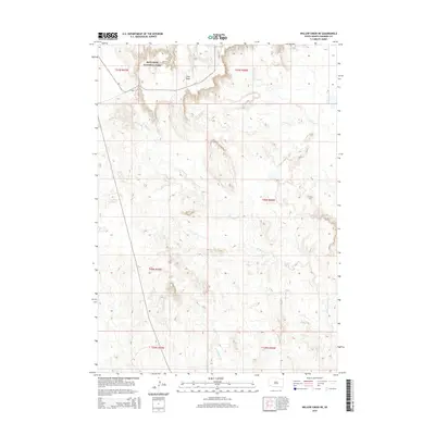
2015 Map of Willow Creek NE
USGS Topo · Published 2015About this map
Badlands National Park anchors the northern reaches of this landscape, where the plateau of Cuny Table drops away into the drainage basins of the southern plains. The terrain is defined by the headwaters of several seasonal watercourses, including the divergent branches of E Horse Cr and W Horse Cr flowing north, while the southern half of the quadrangle is carved by W Fork Mule Cr and E Fork Mule Cr. Connectivity across this high prairie environment is primarily established via Bia-2, a route that traverses the rugged transition between the high tablelands and the creek valleys below. The map provides a precise layout of township and range boundaries, illustrating the systematic division of land in this part of South Dakota.
Find a feature on this map
13 named features on this map. Tap any name to fly to it.
Don’t see what you’re looking for? This feature index may not catch every label — zoom into the map to look around manually.
Map Details
Editions of this 2015 Willow Creek NE Map
This is the sole edition of this map. No revisions or reprints were ever made.
Other maps of this area

1950 · Cuny Table East
USGS Topo · 1:24,000

1951 · Rockyford SW
USGS Topo · 1:24,000

1951 · Willow Creek NW
USGS Topo · 1:24,000

1951 · Rockyford NW
USGS Topo · 1:24,000

1951 · Willow Creek NE
USGS Topo · 1:24,000

1951 · Red Shirt SW
USGS Topo · 1:24,000

1951 · Cuny Table West
USGS Topo · 1:24,000

1955 · Hot Springs
USGS Topo · 1:250,000

1967 · Willow Creek SW
USGS Topo · 1:24,000

1967 · Willow Creek
USGS Topo · 1:24,000