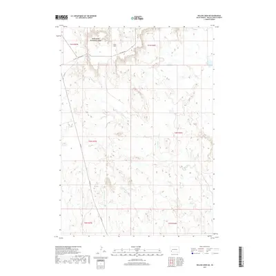
2017 Map of Willow Creek NE
USGS Topo · Published 2017About this map
Badlands National Park dominates the northern landscape of this South Dakota survey, where high plateaus and complex drainage systems define the Oglala Lakota County terrain. The prominent Cuny Table landform serves as a geographic centerpiece, traversed by Cuny Table Rd and BIA Hwy 2. This area is characterized by an intricate network of seasonal waterways, including the headwaters of W Horse Cr and E Horse Cr, which carve into the dramatic escarpments. To the south, the terrain transitions toward the valleys of W Fork Mule Cr and E Fork Mule Cr. The map captures the specialized road network of the Pine Ridge Reservation, such as BIA Hwy 41, showing how transportation routes are dictated by the underlying geology of the badlands and high tables.
Find a feature on this map
15 named features on this map. Tap any name to fly to it.
Don’t see what you’re looking for? This feature index may not catch every label — zoom into the map to look around manually.
Map Details
Editions of this 2017 Willow Creek NE Map
This is the sole edition of this map. No revisions or reprints were ever made.
Other maps of this area

1950 · Cuny Table East
USGS Topo · 1:24,000

1951 · Rockyford SW
USGS Topo · 1:24,000

1951 · Willow Creek NW
USGS Topo · 1:24,000

1951 · Rockyford NW
USGS Topo · 1:24,000

1951 · Willow Creek NE
USGS Topo · 1:24,000

1951 · Red Shirt SW
USGS Topo · 1:24,000

1951 · Cuny Table West
USGS Topo · 1:24,000

1955 · Hot Springs
USGS Topo · 1:250,000

1967 · Willow Creek SW
USGS Topo · 1:24,000

1967 · Willow Creek
USGS Topo · 1:24,000