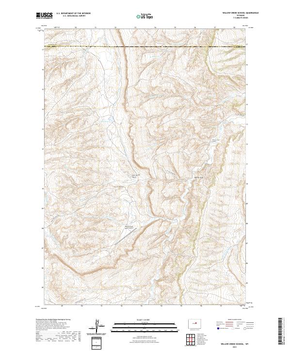
2021 Map of Willow Creek School
USGS Topo · Published 2021About this map
Willow Creek School serves as a central landmark in this remote corner of Natrona and Johnson Counties, where the landscape is defined by an intricate network of drainage basins. The area’s geography is shaped by watercourses like Cottonwood Creek and Big Willow Creek, which carve through the terrain to create features such as Cow Spring Gulch and Holman Draw. The presence of the Willow Creek Ranch Airport suggests the importance of aerial access in this ranching country, while Willow Creek Rd and Thirtythree Mile Rd provide the primary terrestrial connections.
Find a feature on this map
28 named features on this map. Tap any name to fly to it.
Don’t see what you’re looking for? This feature index may not catch every label — zoom into the map to look around manually.
Map Details
Editions of this 2021 Willow Creek School Map
This is the sole edition of this map. No revisions or reprints were ever made.
Other maps of this area

1955 · Arminto
USGS Topo · 1:250,000

1958 · Arminto
USGS Topo · 1:250,000

1961 · Barnum
USGS Topo · 1:62,500

1961 · TTT Ranch
USGS Topo · 1:24,000

1962 · Arminto
USGS Topo · 1:250,000

1968 · Willow Creek School
USGS Topo · 1:24,000

1968 · Roughlock Hill
USGS Topo · 1:24,000

1968 · Big Sulfur Draw
USGS Topo · 1:24,000

1968 · Fiftymile Flat
USGS Topo · 1:24,000

1968 · Flat Top Hill
USGS Topo · 1:24,000