
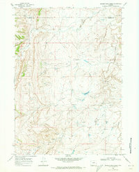
1968 Map of Willow Creek School
USGS Topo · Published 1972About this map
The Johnson Co Natrona Co boundary line bisects this high plains landscape, where the prominent Red Wall escarpment defines the geological character of the region. This 1968 field-checked survey captures a remote ranching environment at the intersection of natural landmarks and essential local infrastructure. Education and aviation are represented by the isolated Willow Creek Sch and a nearby Landing Strip, illustrating the vast distances and logistical needs of central Wyoming life during the late 1960s.
Find a feature on this map
24 named features on this map. Tap any name to fly to it.
Don’t see what you’re looking for? This feature index may not catch every label — zoom into the map to look around manually.
Map Details
Editions of this 1968 Willow Creek School Map
This is the sole edition of this map. No revisions or reprints were ever made.
Other maps of this area

1955 · Arminto
USGS Topo · 1:250,000

1958 · Arminto
USGS Topo · 1:250,000

1961 · Barnum
USGS Topo · 1:62,500

1961 · TTT Ranch
USGS Topo · 1:24,000

1962 · Arminto
USGS Topo · 1:250,000

1968 · Roughlock Hill
USGS Topo · 1:24,000

1968 · Big Sulfur Draw
USGS Topo · 1:24,000

1968 · Fiftymile Flat
USGS Topo · 1:24,000

1968 · Flat Top Hill
USGS Topo · 1:24,000
1968 · Broken Horn Creek
USGS Topo · 1:24,000