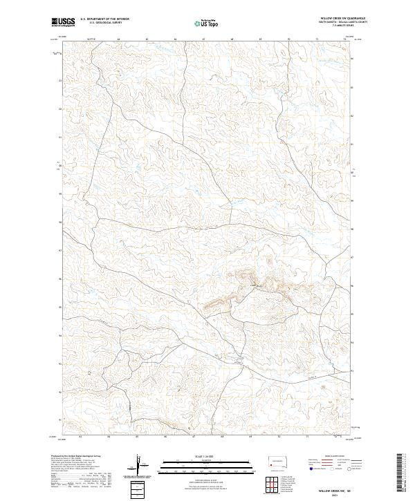
2021 Map of Willow Creek SW
USGS Topo · Published 2021About this map
Cedar Bluffs rises above a series of drainages in this section of Oglala Lakota County, characterized by a complex network of seasonal watercourses. The landscape is defined by the winding paths of W Fork Willow Cr, Middle Fork Willow Cr, and Cedar Bluff Cr, which carve through the undulating terrain. A significant historical marker on the land is the route of Old Hwy 18, which traverses the southern portion of the map. This alignment provides a window into the mid-century transportation corridor through southwest South Dakota, showing how regional travel followed the natural contours of the land before modern interstate developments. The map highlights the intersection of Township and Range boundaries, including t39n r48w and t38n r47w, essential for land ownership and genealogical research in this part of the state.
Find a feature on this map
9 named features on this map. Tap any name to fly to it.
Don’t see what you’re looking for? This feature index may not catch every label — zoom into the map to look around manually.
Map Details
Editions of this 2021 Willow Creek SW Map
This is the sole edition of this map. No revisions or reprints were ever made.
Other maps of this area

1896 · Oelrichs
USGS Topo · 1:125,000

1900 · Oelrichs
USGS Topo · 1:125,000

1951 · Willow Creek NW
USGS Topo · 1:24,000

1951 · Willow Creek NE
USGS Topo · 1:24,000

1951 · Smithwick NE
USGS Topo · 1:24,000

1955 · Hot Springs
USGS Topo · 1:250,000

1967 · Slim Butte NW
USGS Topo · 1:24,000

1967 · Slim Butte NE
USGS Topo · 1:24,000

1967 · Willow Creek SW
USGS Topo · 1:24,000

1967 · Willow Creek
USGS Topo · 1:24,000