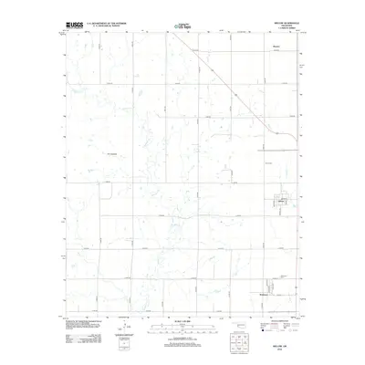
2012 Map of Willow
USGS Topo · Published 2012About this map
The small communities of Willow and Brinkman anchor this Greer County landscape, reflecting the grid-based agricultural settlement of Southwest Oklahoma. The area is defined by a highly organized section-line road system, including routes like e1310 RD and n1900 RD, which facilitate movement across the rolling plains. A prominent natural landmark, The Haystack, rises above the drainage of Haystack Cr, providing a rare point of topographic relief in an otherwise geometric landscape. Local heritage is preserved at sites such as Willow Cem and Brinkman Cem, while the historic street grids of Willow and Brinkman show the residential layouts of these rural centers. To the north, the label for Moravia marks another point of historical interest along the county’s northern reaches. The drainage of Lake Cr further shapes the terrain, illustrating the water-scarce geography typical of the region's ranching and farming history.
Find a feature on this map
29 named features on this map. Tap any name to fly to it.
Don’t see what you’re looking for? This feature index may not catch every label — zoom into the map to look around manually.
Map Details
Editions of this 2012 Willow Map
This is the sole edition of this map. No revisions or reprints were ever made.
Other maps of this area

1955 · Lawton
USGS Topo · 1:250,000

1955 · Clinton
USGS Topo · 1:250,000

1957 · Clinton
USGS Topo · 1:250,000

1961 · Willow
USGS Topo · 1:62,500

1961 · Retrop
USGS Topo · 1:62,500

1971 · Mangum North
USGS Topo · 1:24,000

1971 · Granite
USGS Topo · 1:24,000

1971 · Reed
USGS Topo · 1:24,000

1985 · Elk City
USGS Topo · 1:100,000

1985 · Altus
USGS Topo · 1:100,000